Enjoy The view
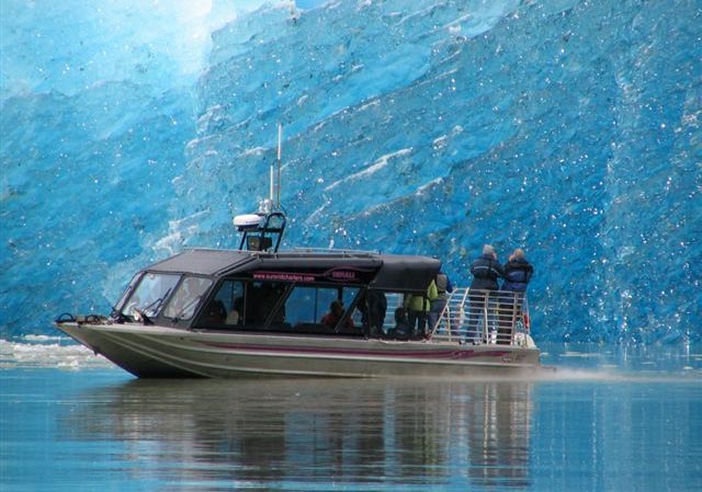
LeConte Glacier
The Stikine Icefield is one of the few remnants of the once-vast ice sheets that covered much of North America during the Pleistocene age. It covers 2,900 square miles along the crest of the Coastal Mountains that separate Canada and the U.S., extending 120 miles from the Whiting River to the Stikine River.
Near the south end of the Stikine Icefield, LeConte Glacier is the southernmost active tidewater glacier in the northern hemisphere. Since first charted in 1887, it has retreated almost 2.5 miles. Today, LeConte is considered in a stable position. Due to the deep water (810 feet) of the bay, LeConte calves instead of advancing. Beginning in 1983, measurements of LeConte’s terminus (the point farthest from the head of the glacier) have been taken by Petersburg High School students. Results show the glacier generally moves forward in the spring after the cold winter weather decreases melting. In the fall, after warmer summer temperatures, it retreats.
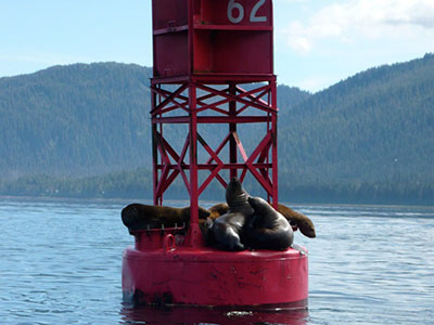
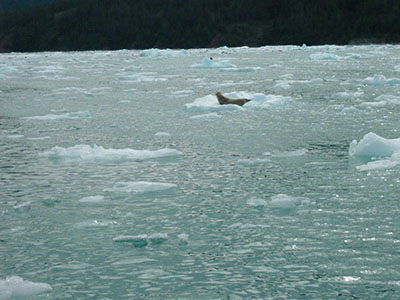
Harbor seals choose LeConte’s protected water and abundant icebergs as a breeding, birthing, and rearing area. Remember not to disturb these little ones. Abandonment of a young pup by its mother is a common occurrence, particularly if they are disturbed by hunting or other activities by humans.
CLICK HERE to see our slideshow.
Please call 907-874-2402 or Cell 907-305-0416 if you have any questions about this tour.
Depending on the tide, and due to Dry Strait being dry about half the day,
sometimes we cannot transit from Wrangell to LeConte and back. On those days we
will go to Petersburg and transit the Wrangell Narrows one direction.
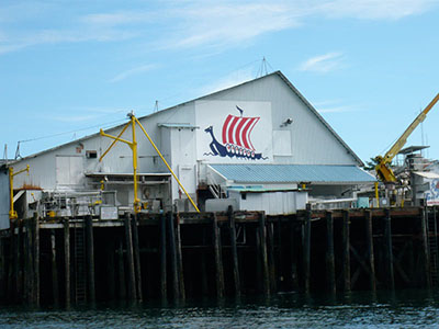
Leconte with stop in Petersburg
Leconte via Dry Straight both ways
PRICE LECONTE GLACIER TOUR:
- Leconte via Dry Straight both ways 5 hour trip $260
- Leconte with stop in Petersburg $300.00
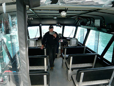
Getting a big group together? Charter rates for the entire boat by the hour or trip available. Contact John for Booking at $385 Per Hour.
